FIELD INTELLIGENCE
MISSION PORTFOLIO
A visual archive of Eagle Sight Drone Intelligence Group aerial photos and videos from property intelligence, land verification, inspections, mapping, construction monitoring, and operational documentation missions.
VIDEO OPERATIONS
MOTION INTELLIGENCE
Dynamic aerial video showing property scale, layout, access points, and surrounding context.
Video capture supporting structure review, condition awareness, and documentation.
Sample mission preview footage for reviewing coverage before final deliverables are prepared.
Aerial video documenting active site work, layout, and construction progress over time.
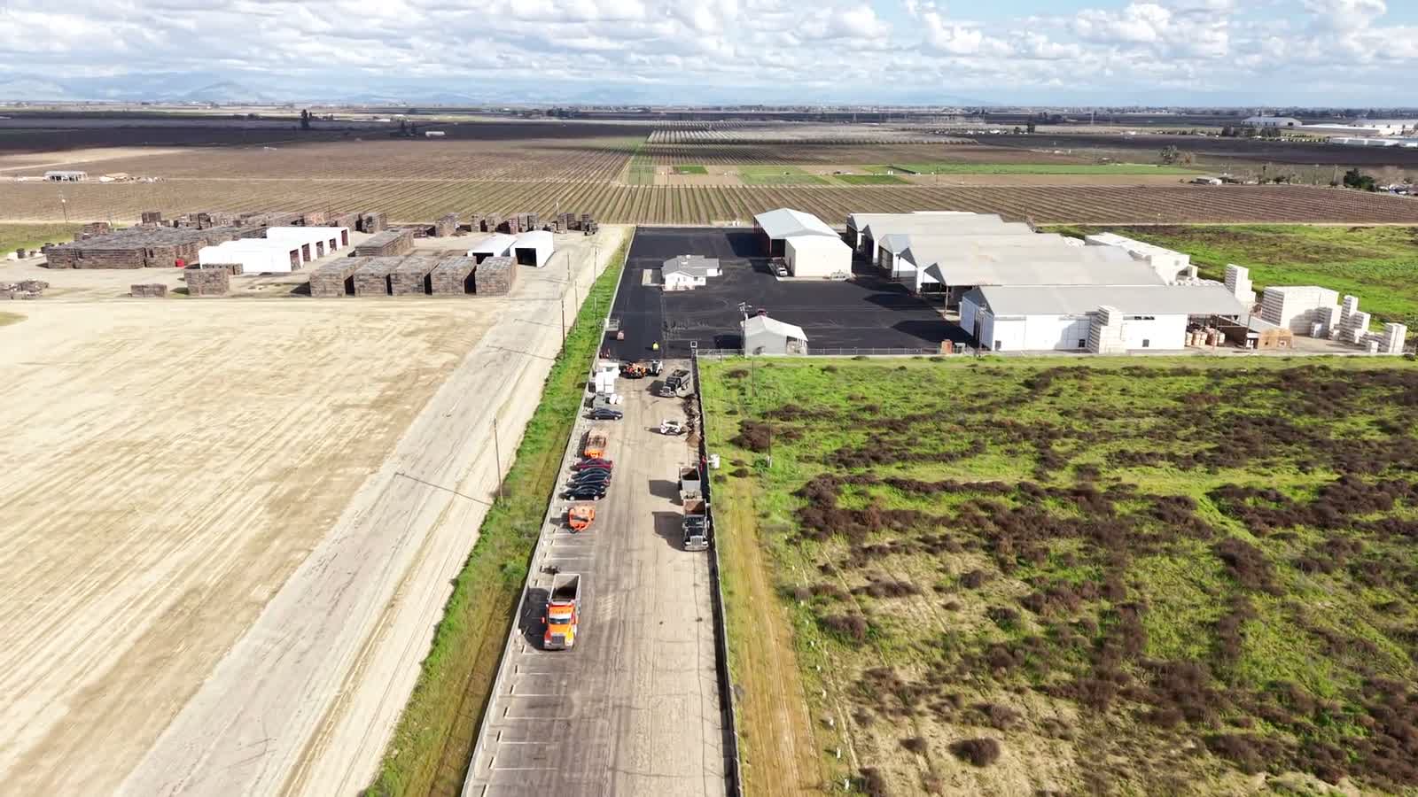
Wide aerial pass capturing property scale, access, and surrounding area conditions.
Video coverage of a commercial retail site supporting condition awareness and documentation.
PHOTO INTELLIGENCE
CAPTURED ASSETS
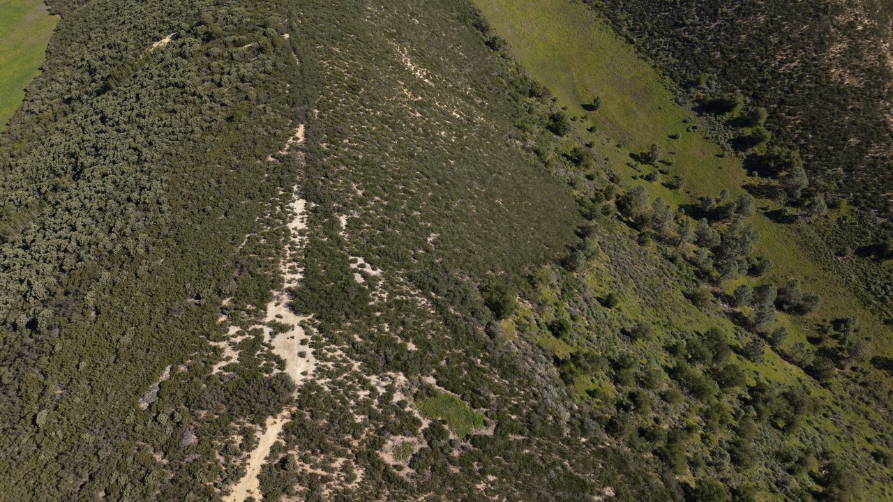
Aerial perspective used to document land condition, access points, and surrounding property context.
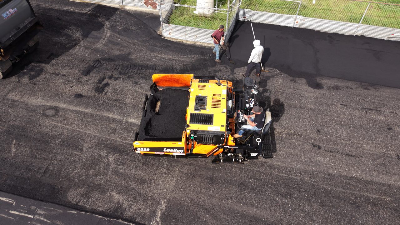
Site visibility for owners, contractors, and stakeholders needing documented construction progress.
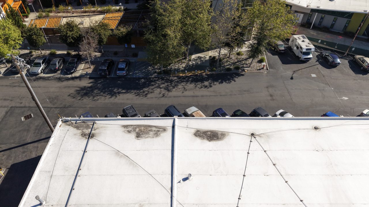
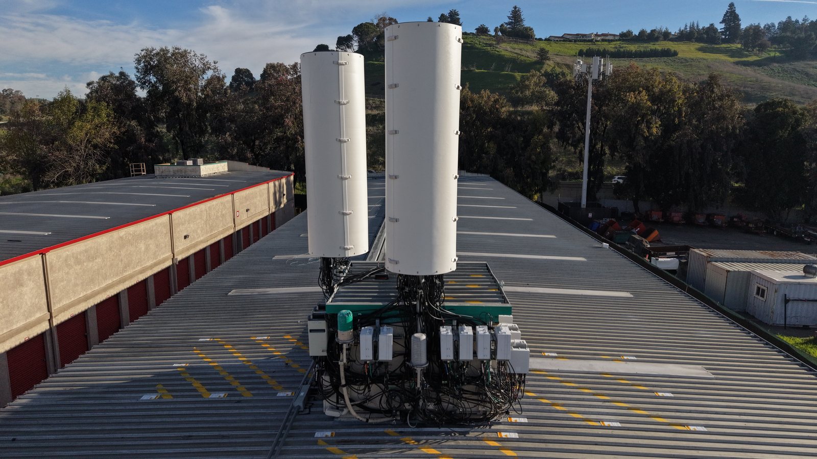
Aerial documentation for rooftops, assets, structures, and hard-to-reach field conditions.
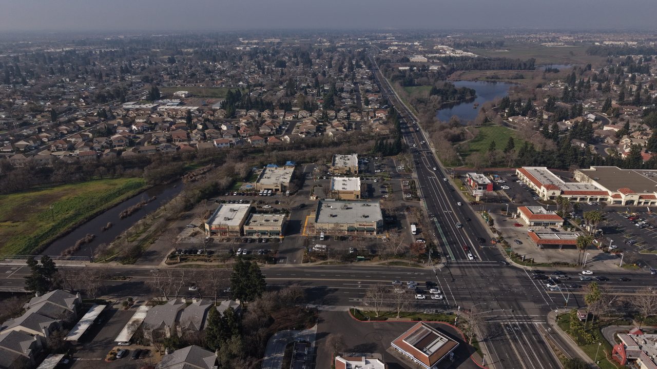
Visual context for property scale, access, land layout, and surrounding area conditions.
High-level aerial documentation supporting planning, verification, and site awareness.
Approved operational media captured during active Eagle Sight mission workflows.
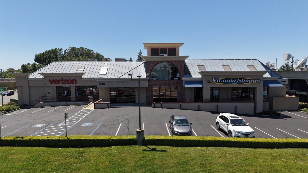
Aerial documentation of facility layout, access, and site conditions for commercial property review.
Overhead documentation of a retail site, rooftop assets, parking, and surrounding access.

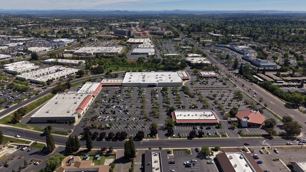
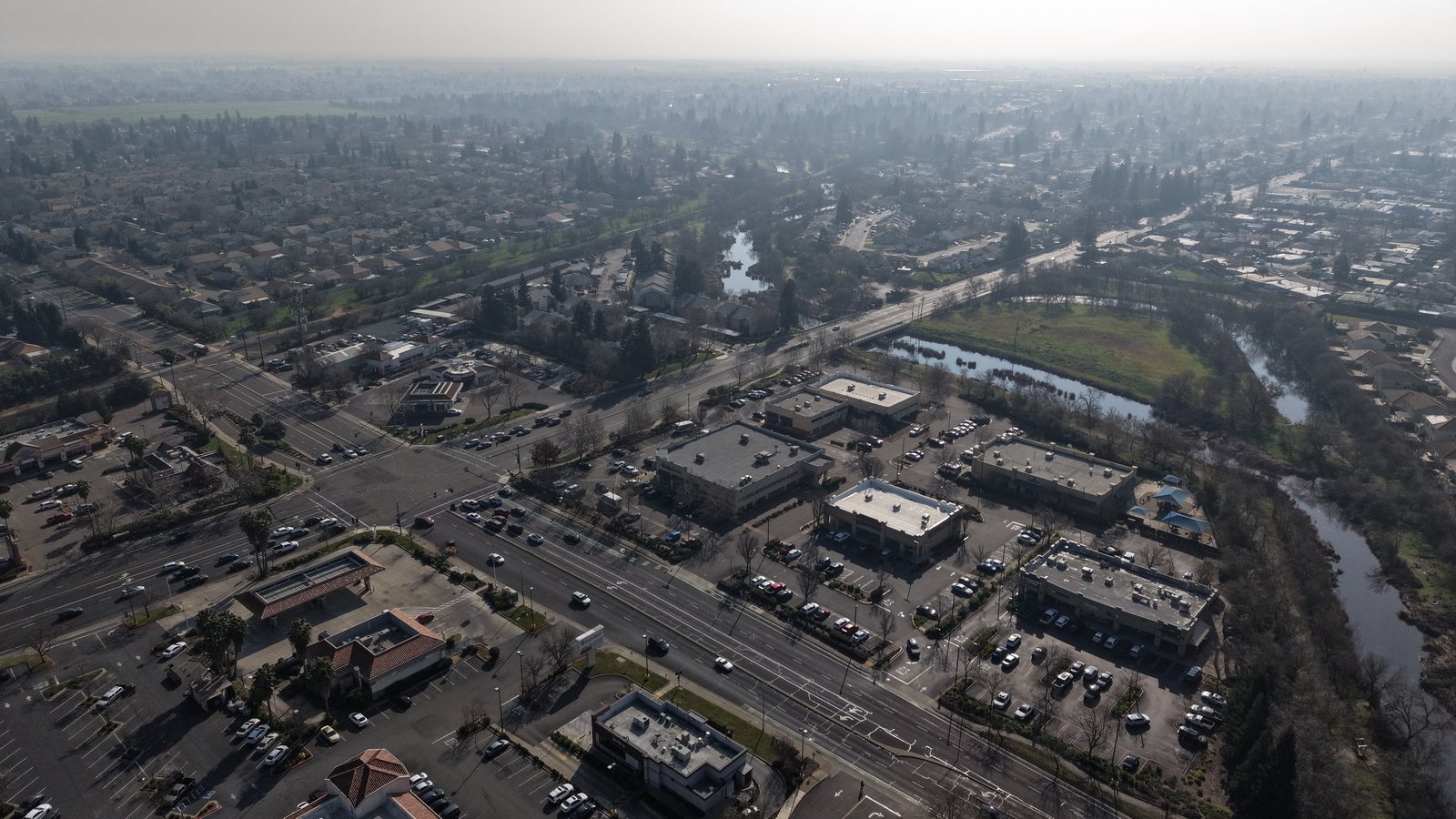
Aerial perspective documenting urban property scale, density, and surrounding area conditions.
YOUR MISSION, ON THE BOARD
CAPTURE THE FULL PICTURE
Put your site on the board. Request a mission and we’ll capture, verify, and deliver the intelligence you need.