DISPATCH-BASED AERIAL INTELLIGENCE
REAL-TIME DATA FORCOMMERCIAL PROPERTIES
We dispatch FAA-certified operators for land verification, site inspections, and aerial documentation, delivered fast.
OPERATIONS
LIVE MISSION VISIBILITY
From intake to delivery, every mission moves through a coordinated workflow you can see at every stage.
- 01Mission Intake
- 02Operational Feasibility
- 03Pilot Dispatch
- 04Live Mission Visibility
- 05Data Review
- 06Intelligence Package
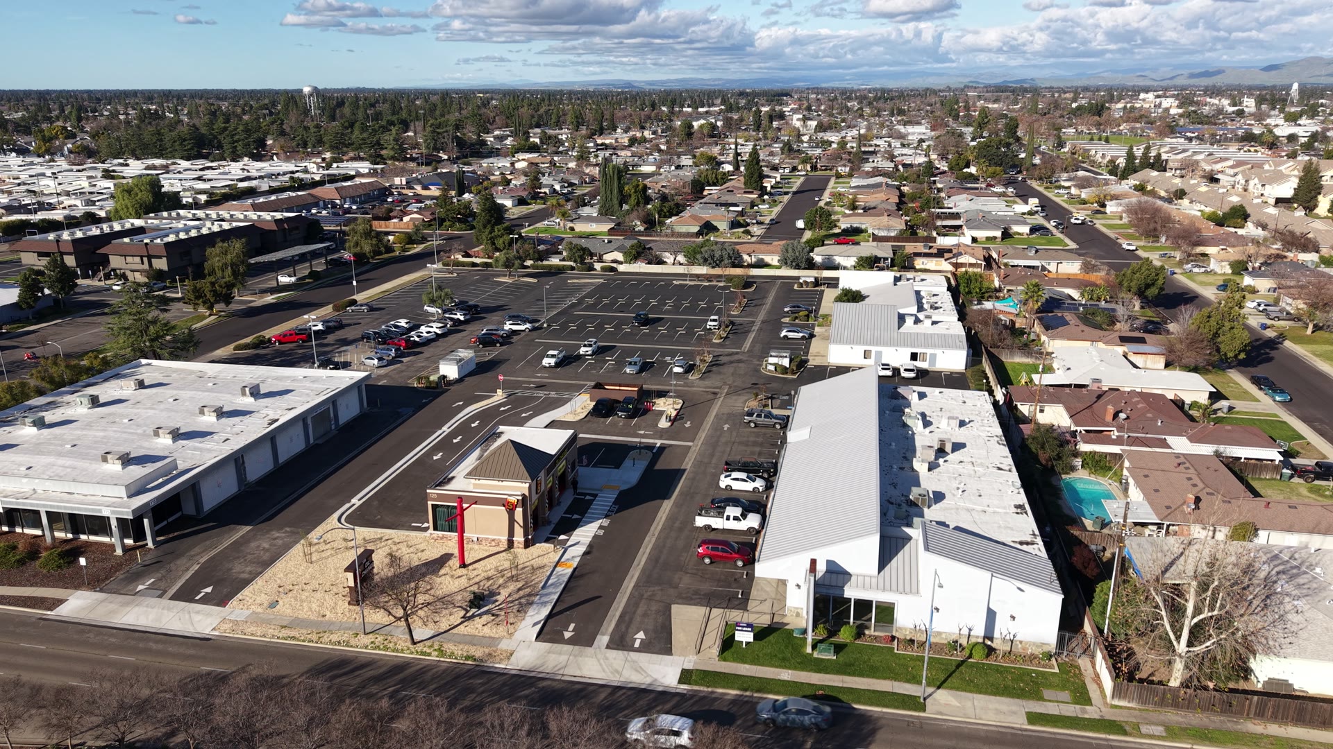
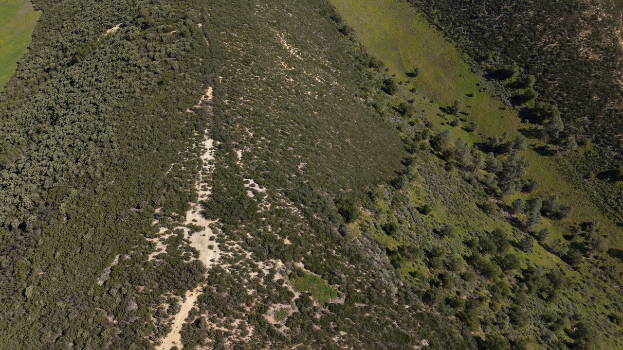
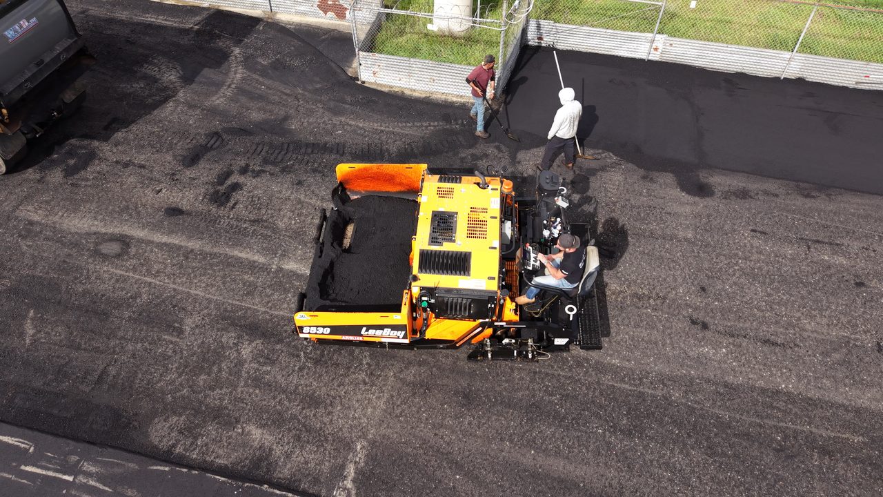
FIELD ARCHIVE
RECENT OPERATIONS
A sample of captured assets: land verification, inspections, construction monitoring, mapping, and more.

FROM FLIGHT TO INTELLIGENCE
MORE THAN FOOTAGE
We’re not a freelance drone photographer. Eagle Sight runs structured mission workflows with live tracking and delivers organized intelligence packages, not just footage.